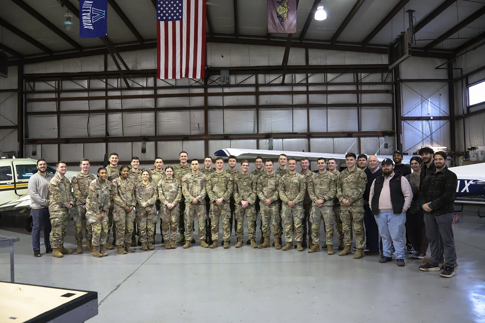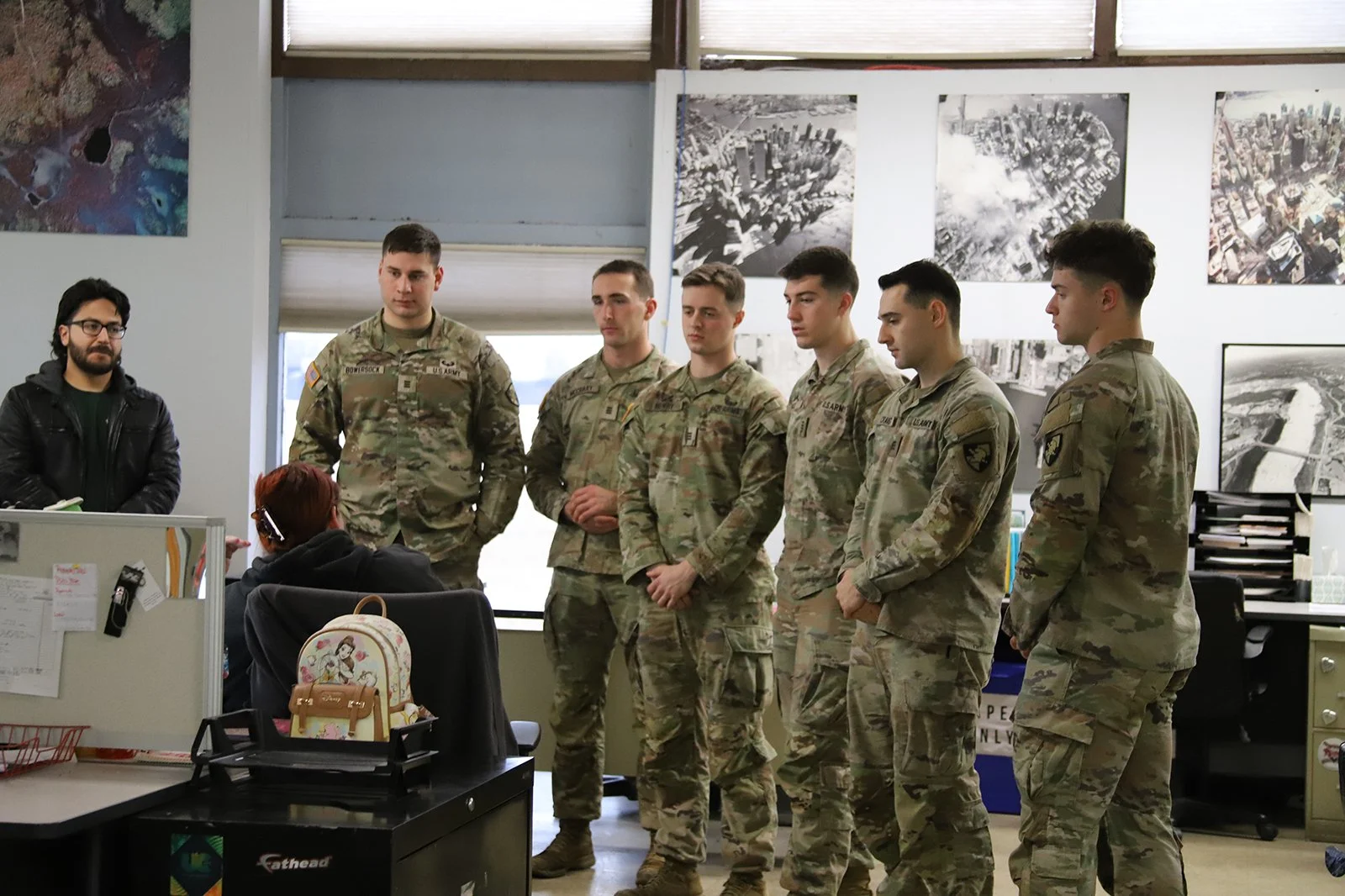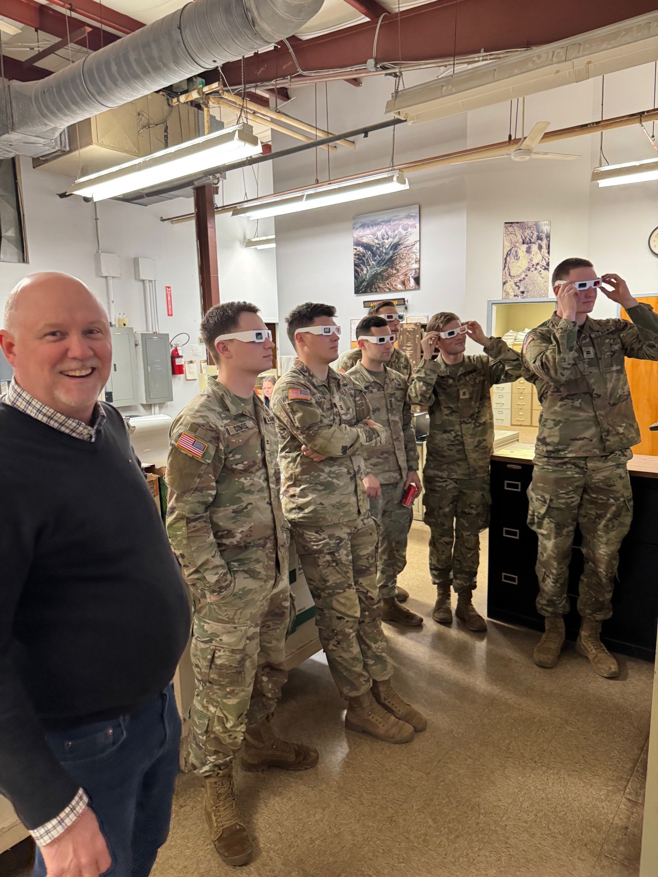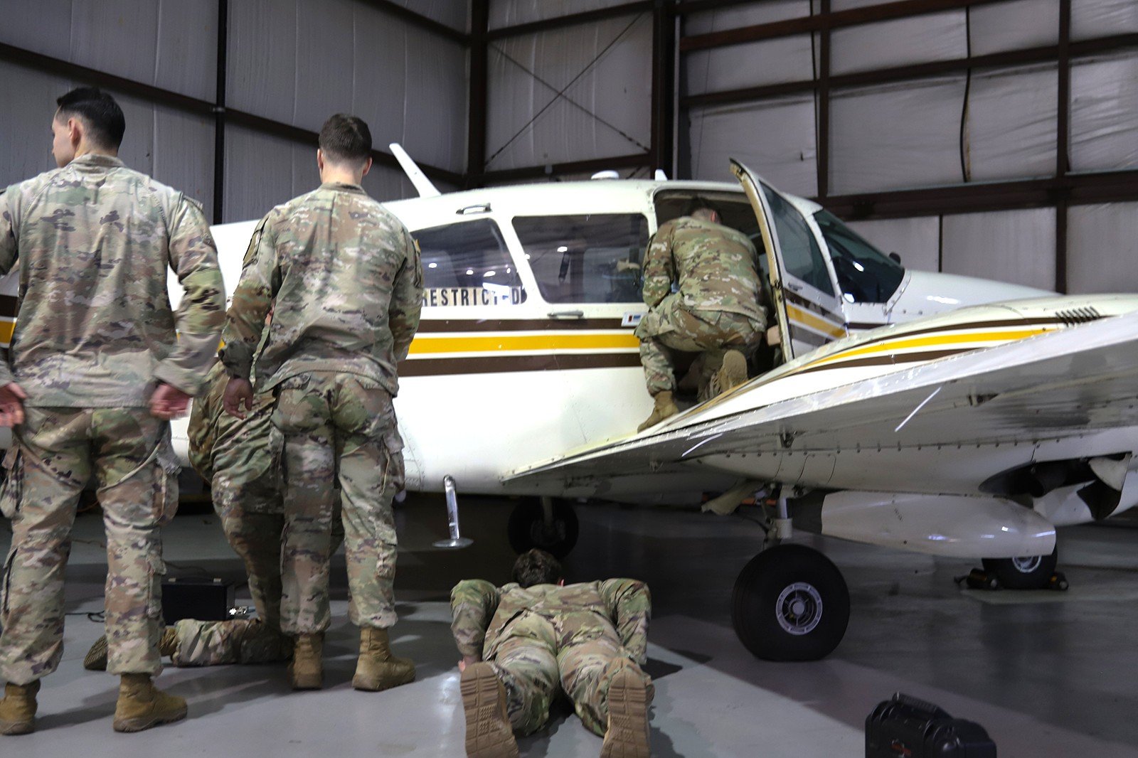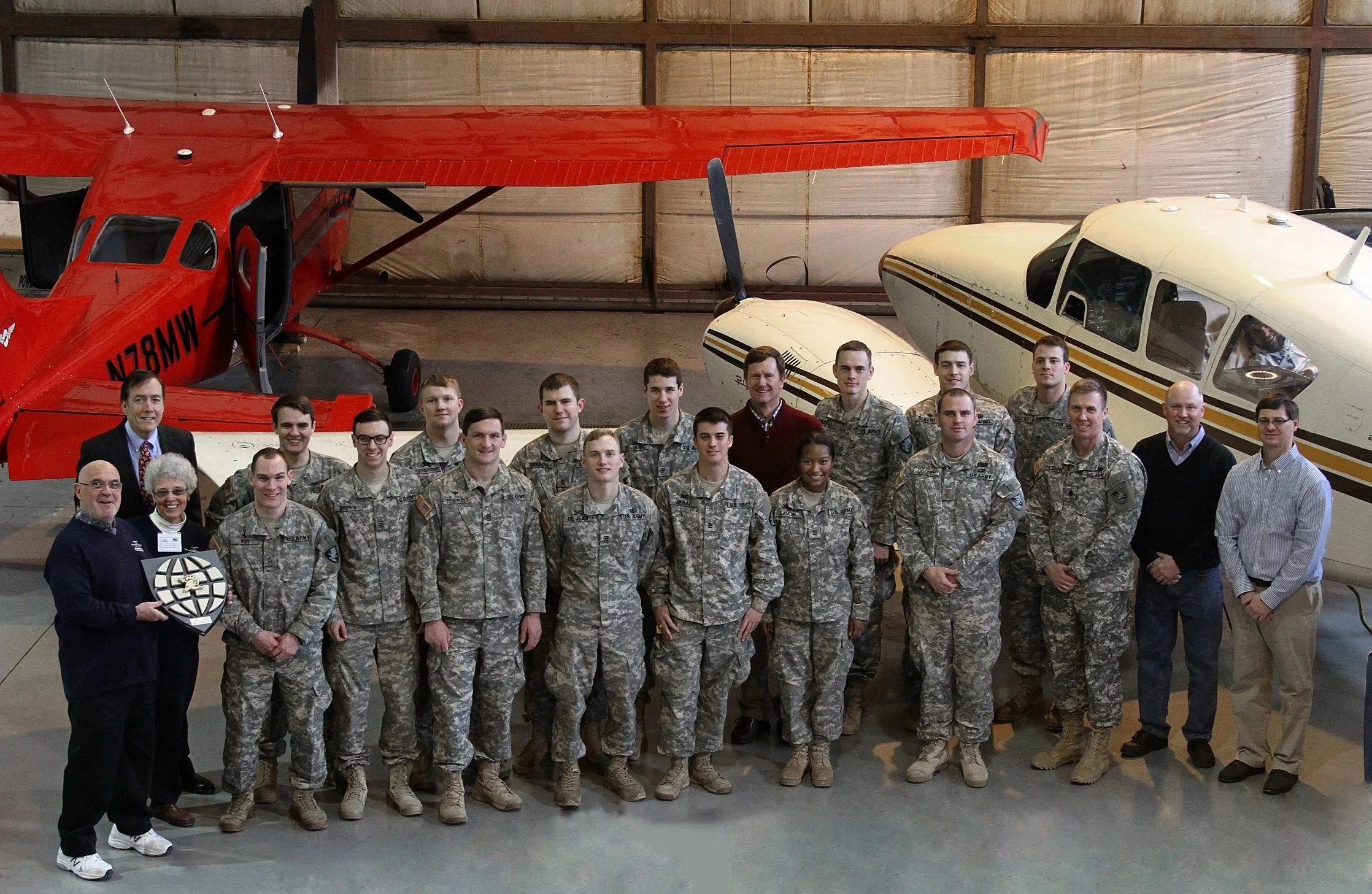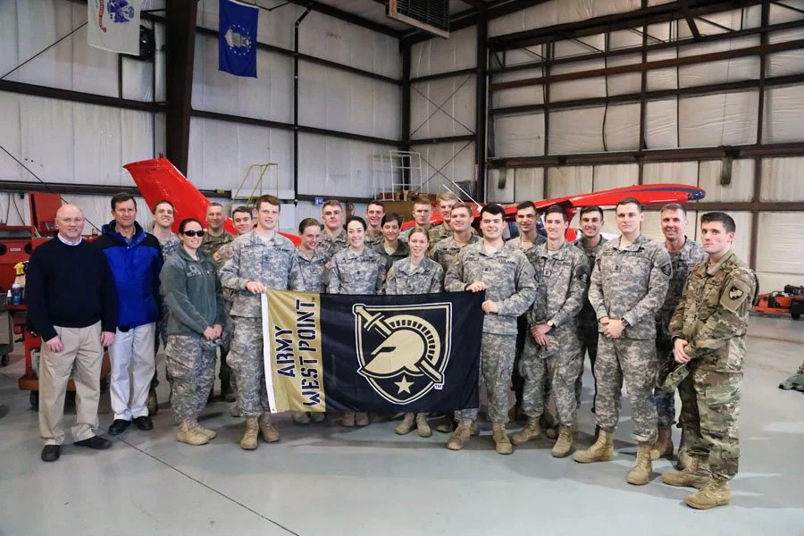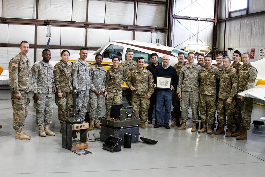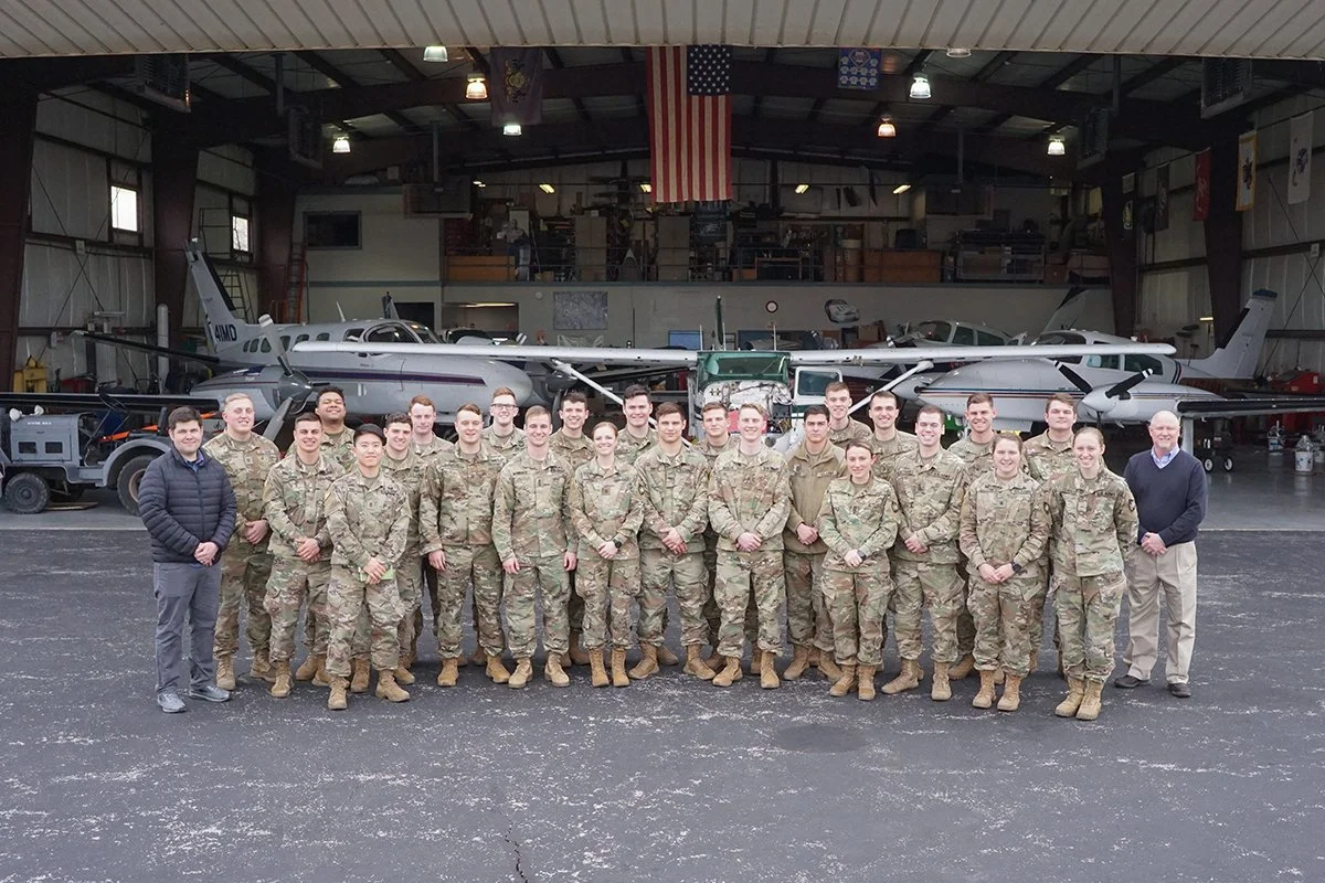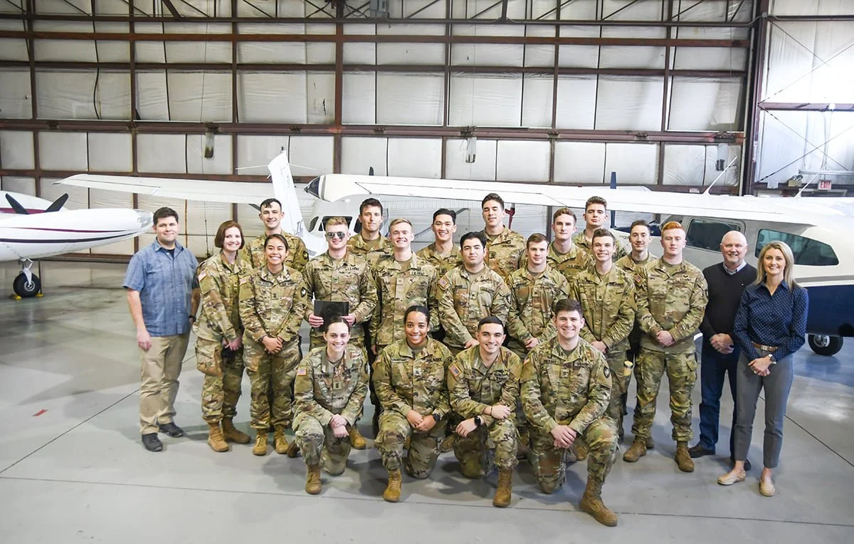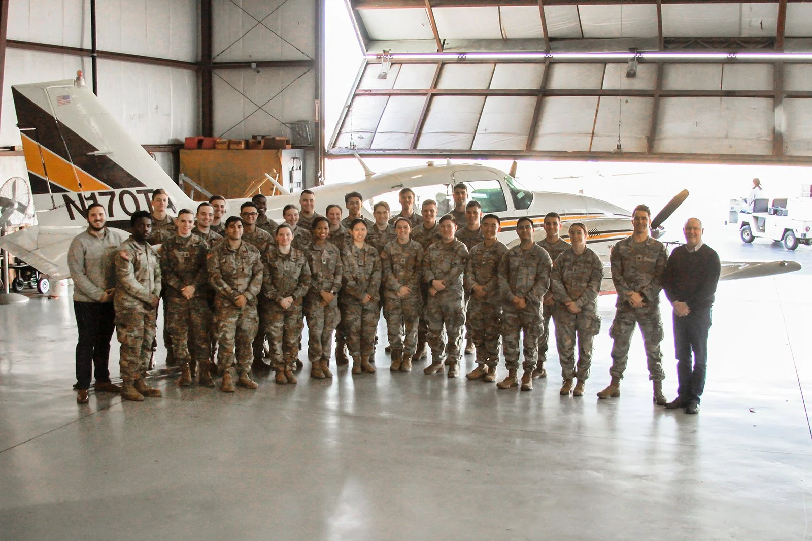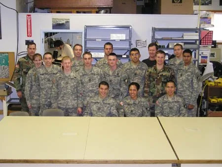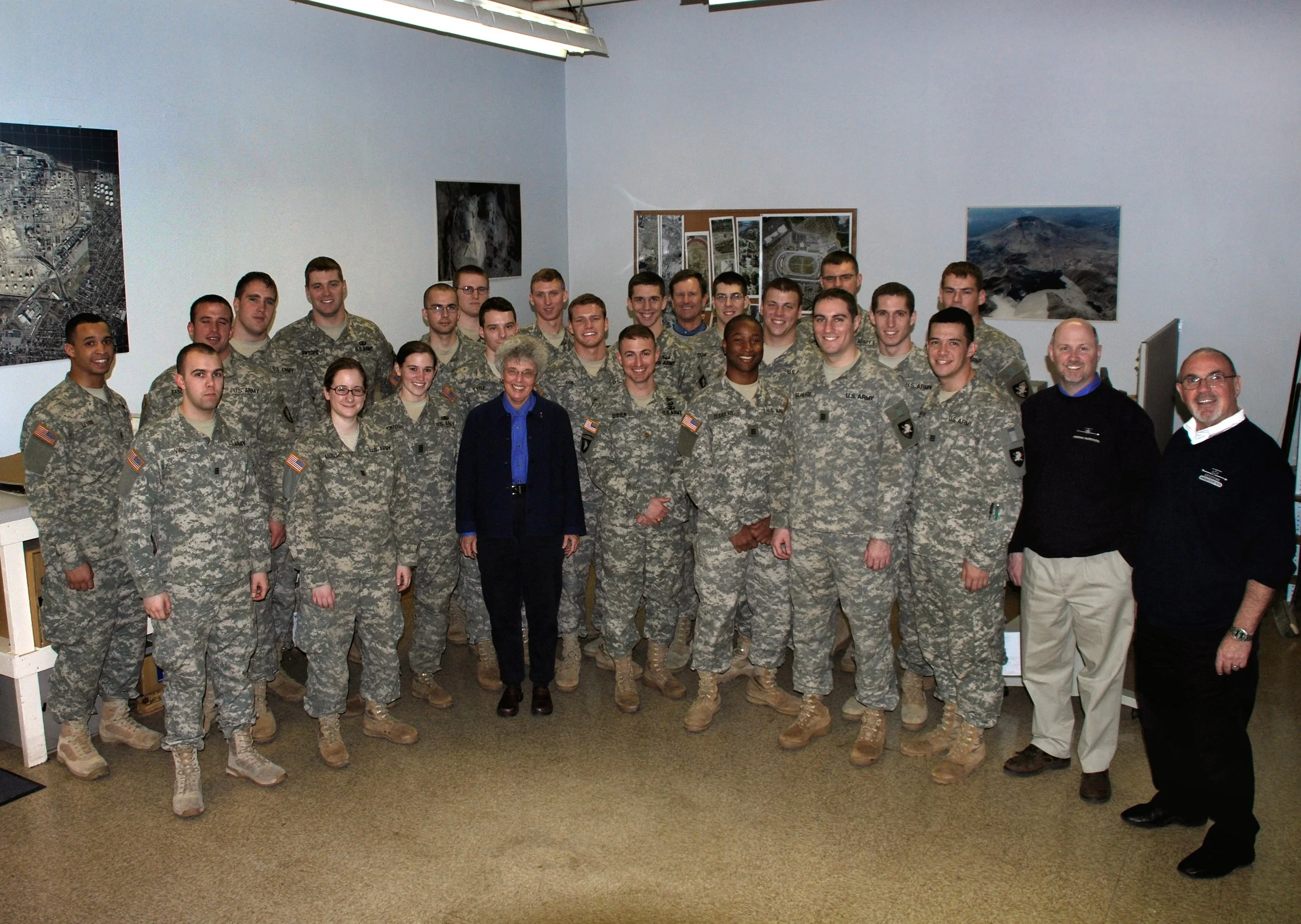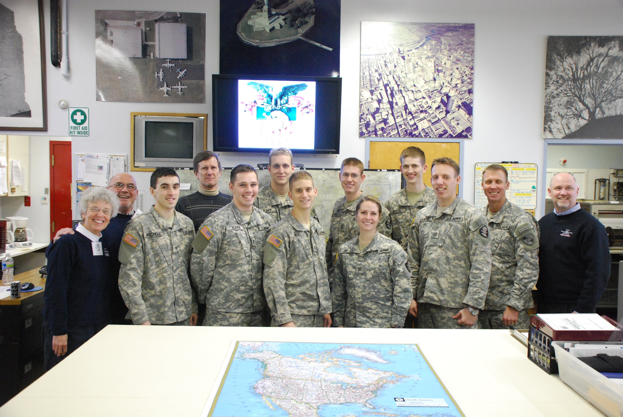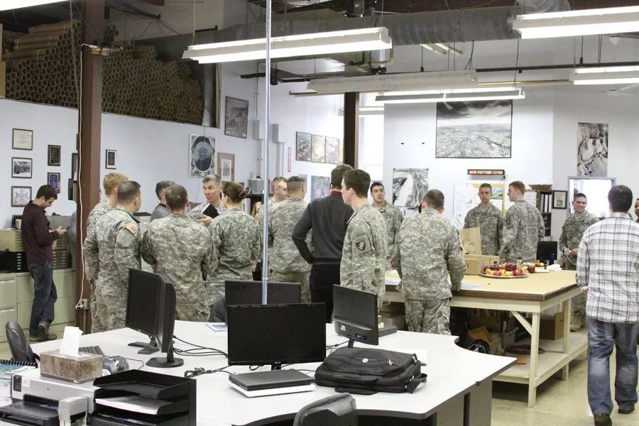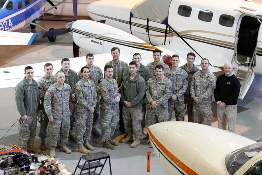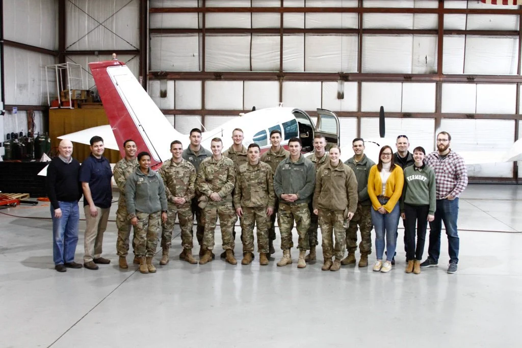

West Point Cadets
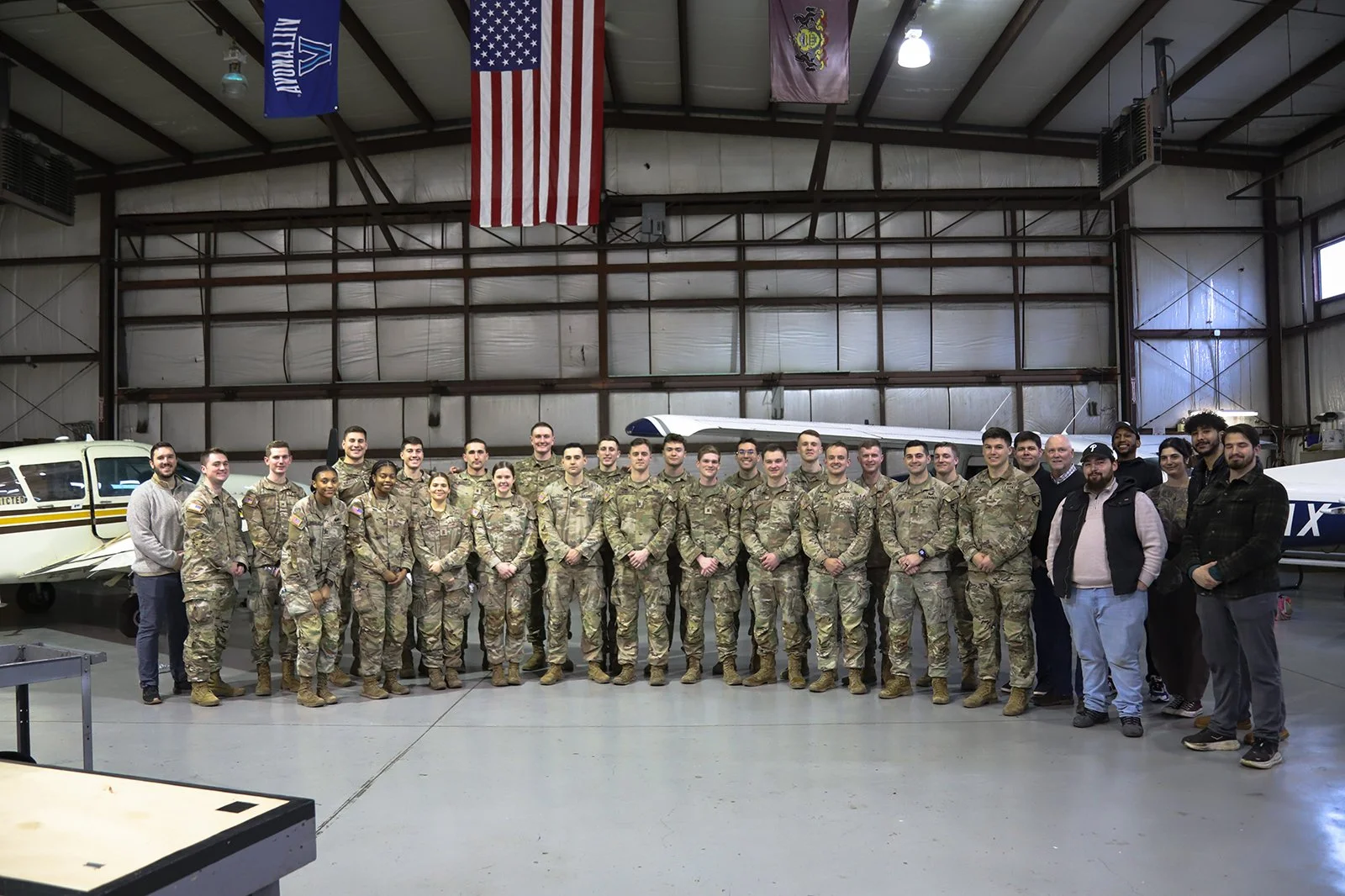
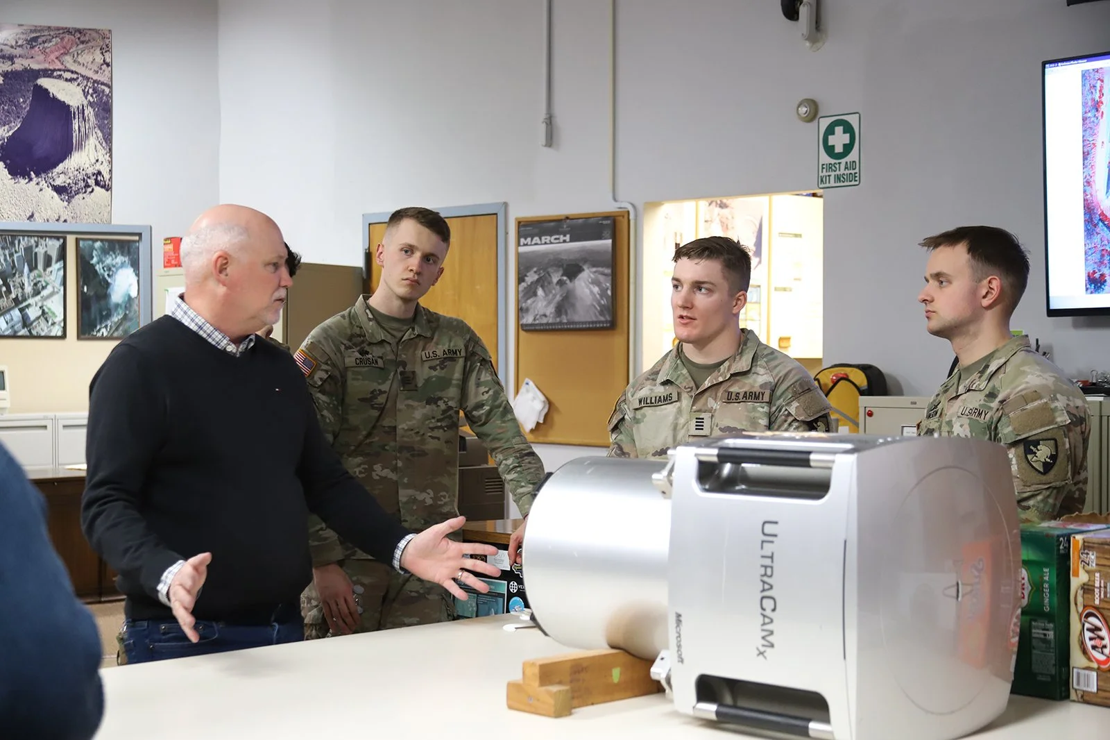
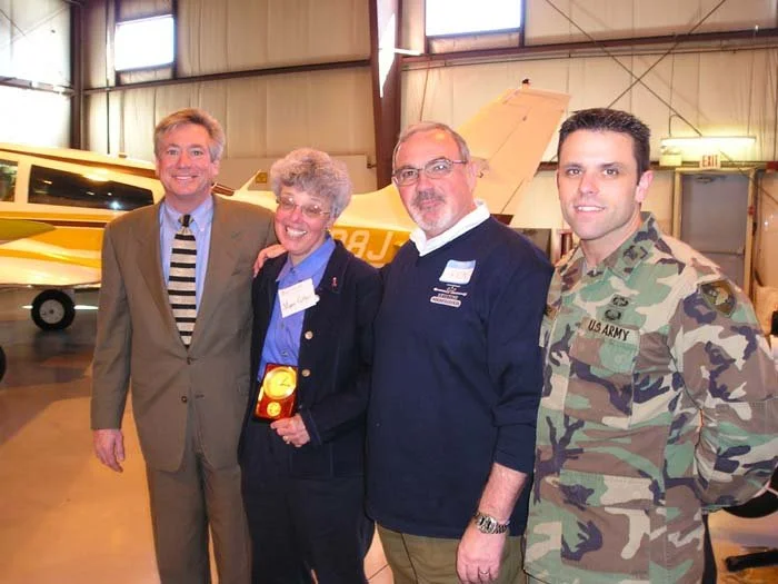
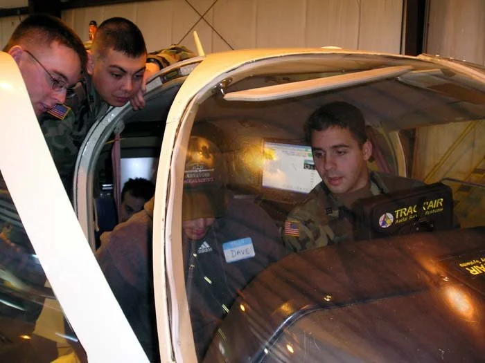
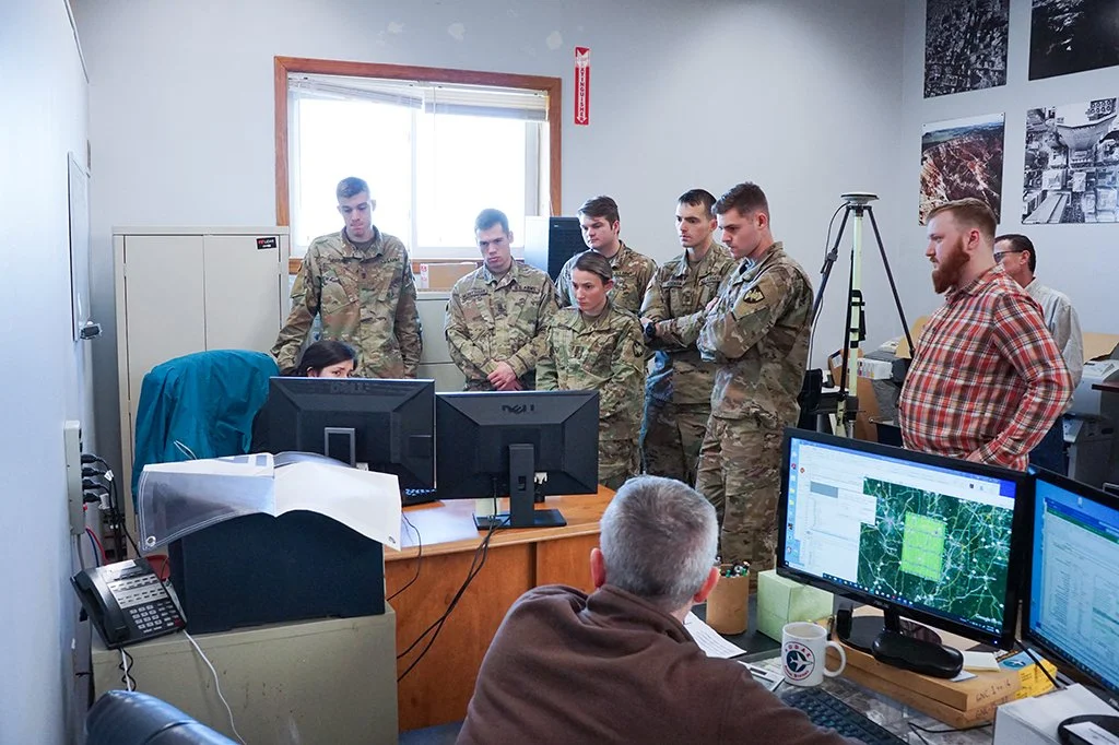
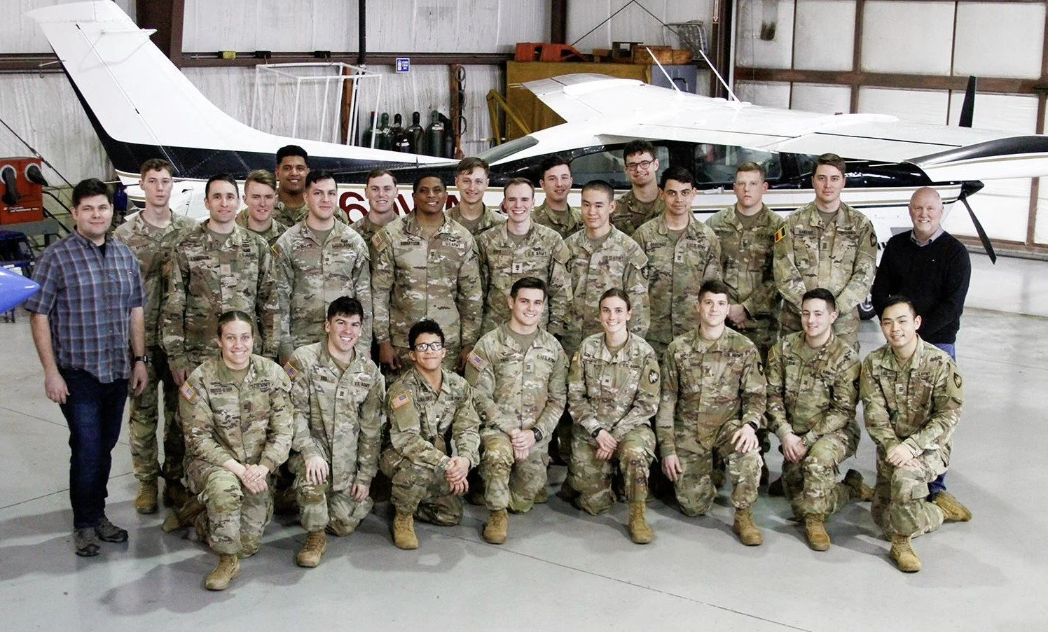
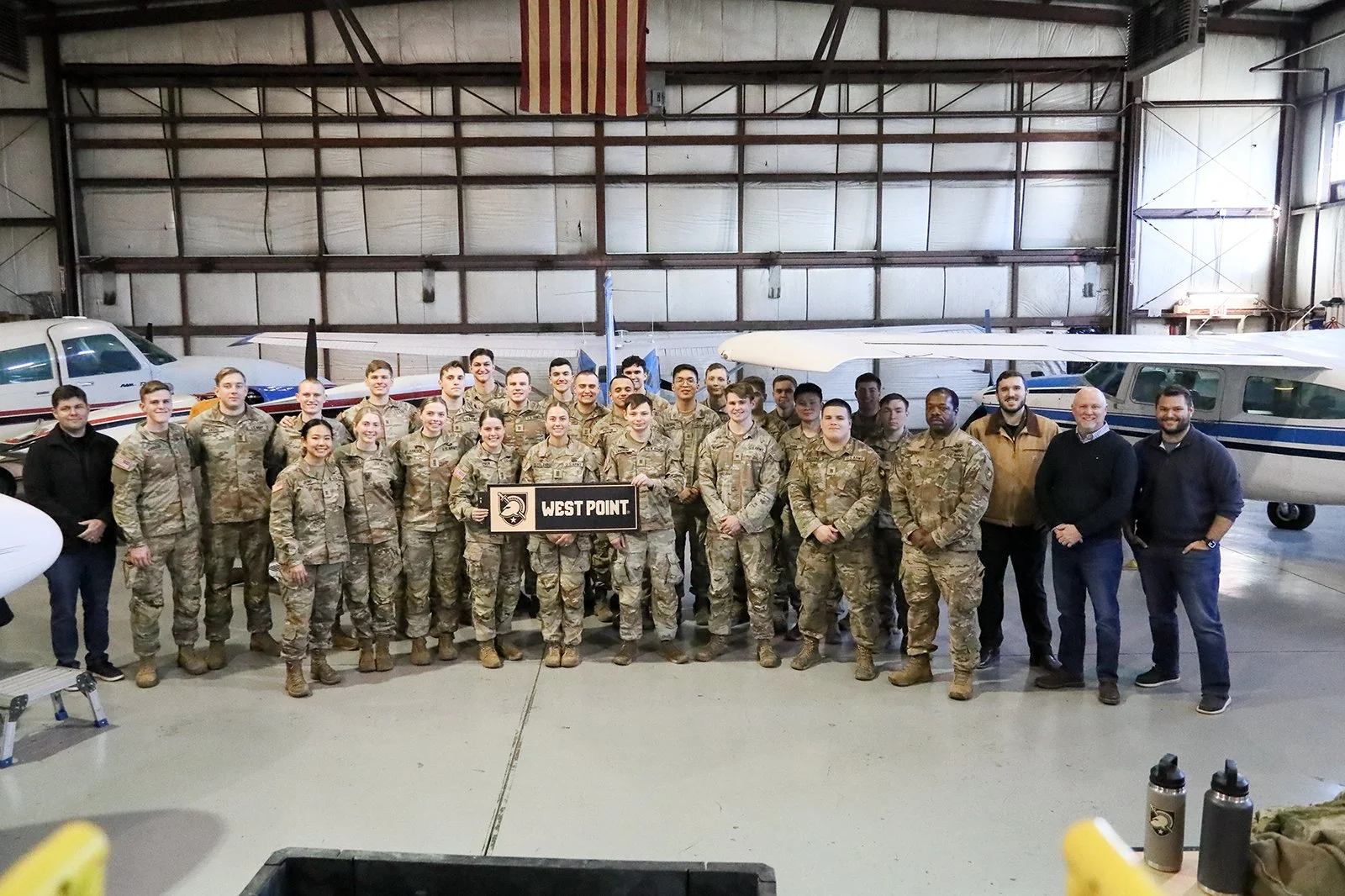
For more than 20 years, Keystone has proudly welcomed West Point cadets to our office as part of their Geospatial Information Science coursework. This long-standing partnership reflects a shared commitment to hands-on learning and real-world application, giving cadets the opportunity to see how geospatial technologies are used in a professional environment. Through exposure to GPS, high-resolution imagery, spatial analysis, and map production workflows, cadets gain firsthand insight into the day-to-day operations of a geospatial firm. We’re honored to play a role in supporting the next generation of leaders as they bridge academic theory with practical industry experience.
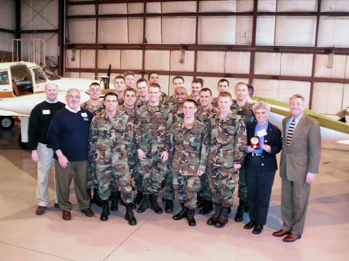
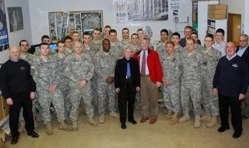
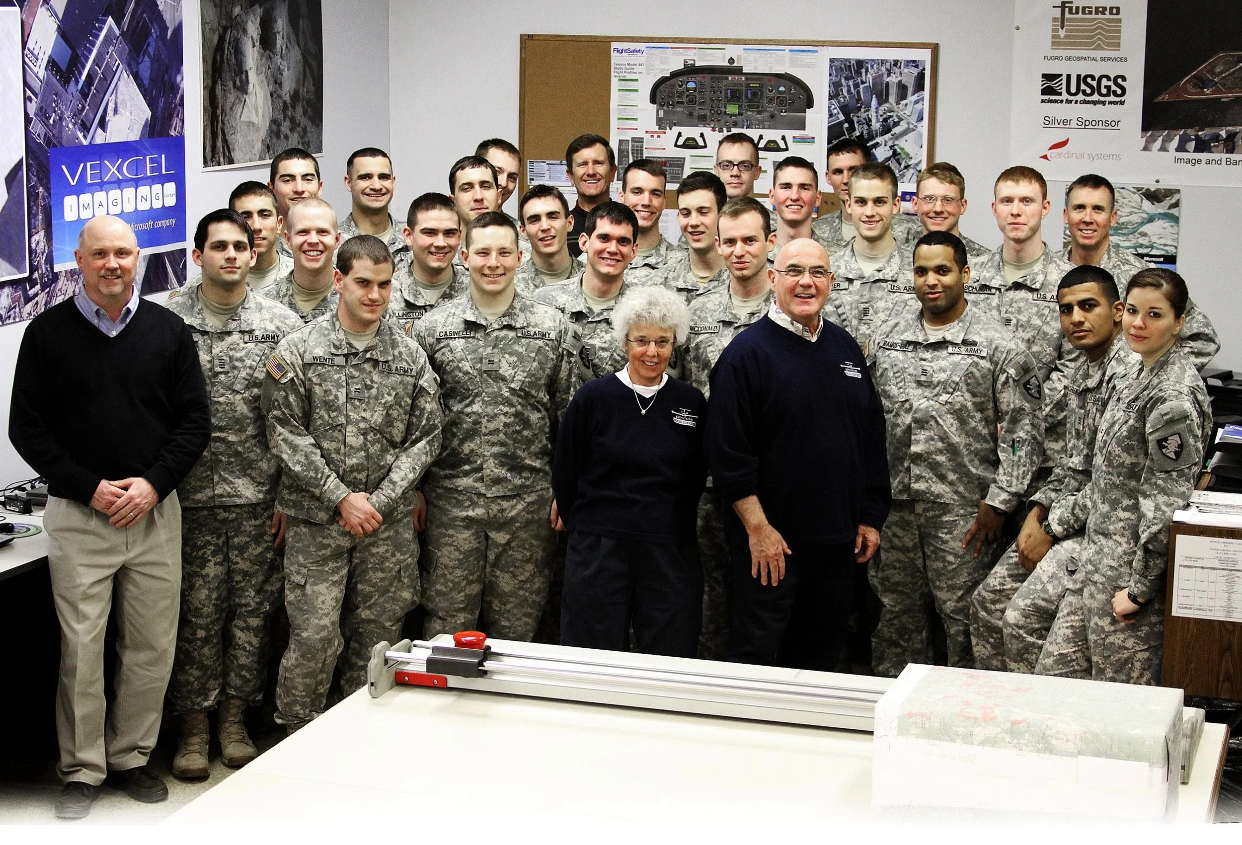
The links below highlight photos from each year, showcasing two decades of West Point cadets visiting Keystone and engaging with our team and technology.